

Our Services

Construction Site Monitoring
Drones can provide quick and accurate visual data of a construction site. This information can be shared with customers to show the progress of a project, or used by internal management to ensure projects remain on track. At Walker Drone Services, we will work with you to capture construction site data faster and safer than traditional methods, saving you time and money on your next project.

Aerial Mapping
Up to date aerial imagery of a property can be valuable to a wide range of landowners. Forest managers, hunt clubs, tree farmers, and land investors are just a few landowner types that can benefit from our aerial mapping services. At Walker Drone Services, we provide high resolution orthomosaics to help you make the right decisions on your property.
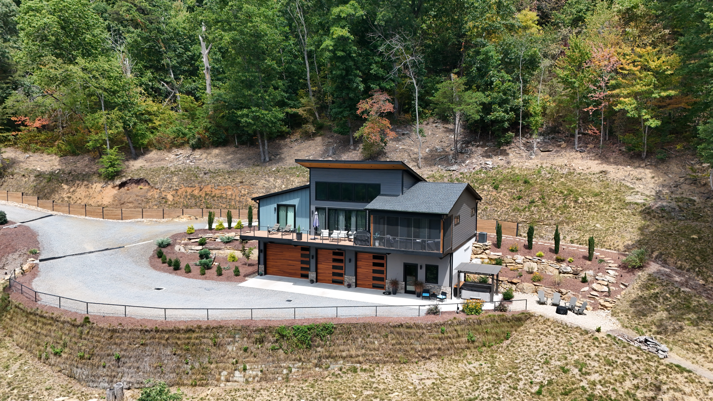
Real Estate Photography and Videography
The right photos and videos of your home can help your property stand out in a competitive real estate market. Images captured with a drone give viewers an overhead view of the property, providing them a better sense of the overall size and look of a home. At Walker Drone Services, we provide quality photos and videos of your home and property to meet all of your marketing needs.